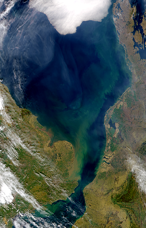
Satellite view centered on Belgium
Satellite view centered on Belgium 2003
This Medium Resolution Imaging Spectrometer (MERIS) image centres over Belgium. To the north of the image below the Zeeland Islands we find the lowland region of the Polders, the area was reclaimed from the sea through drainage and is protected by dykes.
To the east of here is the large port of Antwerp. South of here near the centre of the image are the cities of Ghent, and the capital Brussels. The snow-covered region in the eastern part of the image is Ardennes and the Eifel region in Germany. To the west of this region we can see the River Maas flowing through Lige and up into the Netherlands.


