Lake Poopo, Bolivia October 1995
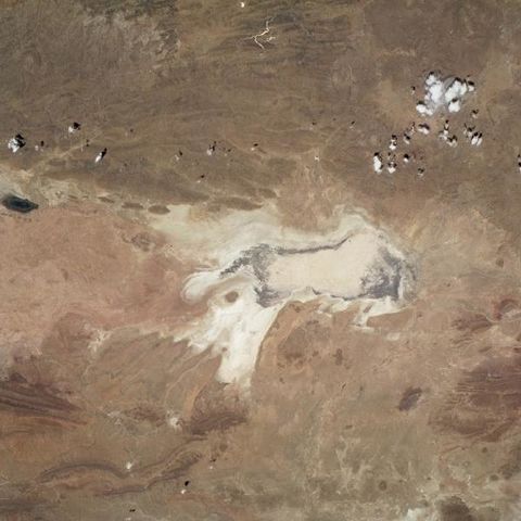
Lake Poopó, Bolivia October 1995 Since 1994, some Space Shuttle photographs of Lake Poopó, located on the Altiplano of southwestern Bolivia, have shown the lake only partially filled with water. This photograph, showing almost no measurable surface water in the lake, indicates moisture only in the dark area that almost completely outlines the lake. The darker area probably represents some form of vegetation in what was the deeper part of the lake. The Desaguadero River, which has been the major water recharge source for the lake, is difficult to trace. This photograph is part of a time sequence that shows the fluctuations in water levels of the lake..

