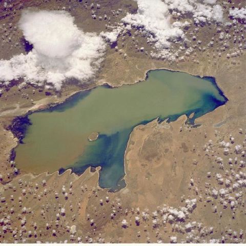
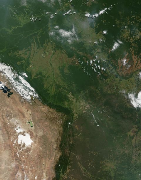
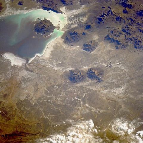
Satellite Image, Photo of Lake Poopo, Bolivia
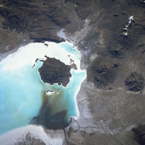
Lake Poopó, Bolivia January 1990 Shallow Lake Poopó, a brackish lake in the Altiplano of southwestern Bolivia, has as its major water supply the Desaguadero River, which flows intermittently southeastward from Lake Titicaca. Visible in this closeup photograph of Lake Poopó are a sediment plume that has entered the lake from the northwest and its dispersal pattern and a single-cell thunderstorm near the northeastern shoreline. This photograph is one in a series spanning two decades that documents water level fluctuations of the lake..
Gallery

