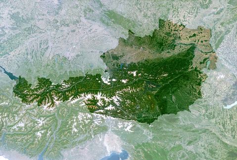
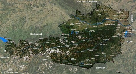
Satellite view of Austria and Switzerland
Austria and Switzerland's alpine regions are clearly visible on this MEdium Resolution Imaging Spectrometer (MERIS) image. Snow still remains on the higher peaks with vegetated valleys in between. A second range of mountains, the Apennines, again with snow covered higher peaks, can be seen extending down the boot of Italy. To the north of these mountains, below the Alps, is the green lake land region of Northern Italy. MERIS was originally designed for ocean-colour monitoring but the outstanding radiometric quality of its five cameras enables land observations as well. The MERIS Global Vegetation Index, an ESA-derived product, has been developed in order to identify and distinguish the various types of vegetation and forests at regional scales. It can be of great help to those involved in research fields such as: deforestation monitoring, forest inventory and carbon cycle related issues. Image acquired 2002.


