Seville, Cádiz and the Guadalquivir river
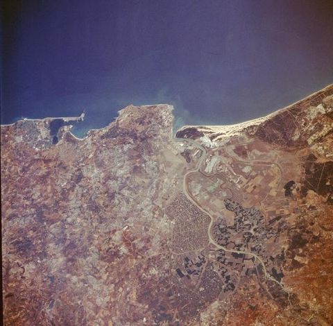
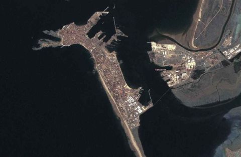
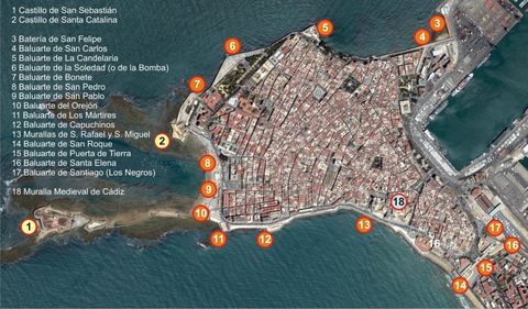
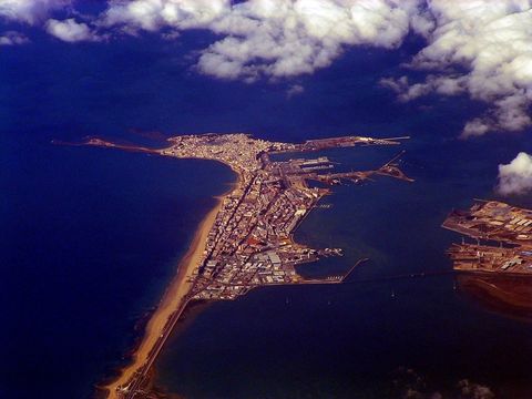
The cities of Seville, Cádiz and the Guadalquivir river. This photograph shows approximately 60 miles (90 kilometers) of the southwest coast of Spain that fronts the Gulf of Cadiz. Several natural and manmade features are visible when viewing from south to north-the city of Cadiz, a seaport city with a population of approximately 180 000, located at the tip of a very narrow peninsula and surrounded by the Bay of Cadiz; the large runway of Rota Airport near the southern edge of the large angular peninsula, which protrudes into the Gulf of Cadiz; the mouth of the Guadalquivir River by which the city of Seville can be reached by small steamers; and a series of parallel, highly reflective sand dunes north of the mouth of the Guadalquivir River. Inland from the coast, cultivated field patterns are observed. Apparently a substantial amount of the former swampy area along the Guadalquivir River has been converted into productive irrigated farmland, and many canals have been constructed to maximize the available waterflow.


