Gallery
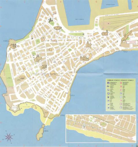
Map of the city of Cadiz
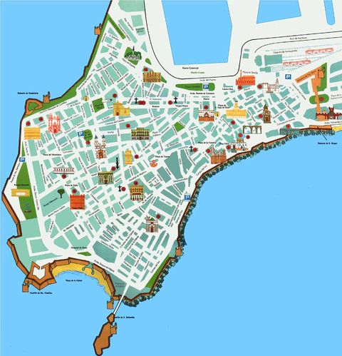
Cadiz city tourist map
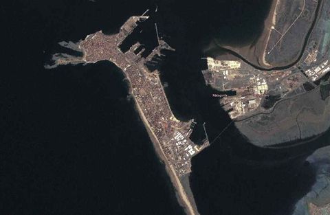
Satellite view of the city of Cadiz
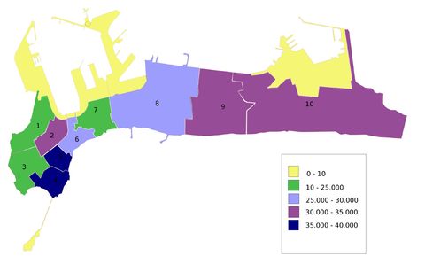
Map of the statistical divisions of the city of Cadiz and the population density (inhabitants per km2) in 2007.
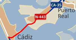
Cadiz, due to the particular site it occupied, has two access roads: the CA-35 and N-443...
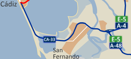
CA-33 highway from San Fernando to the city of Cadiz 2008
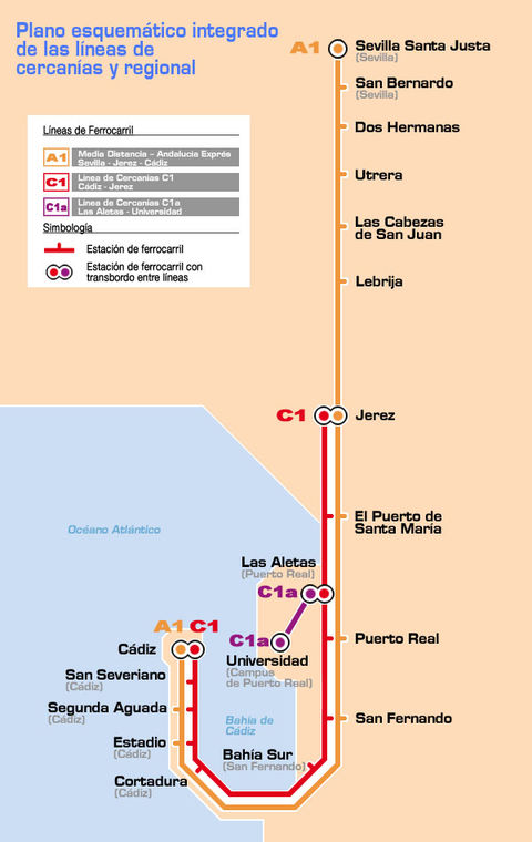
Commuter rail network of Cadiz 2007
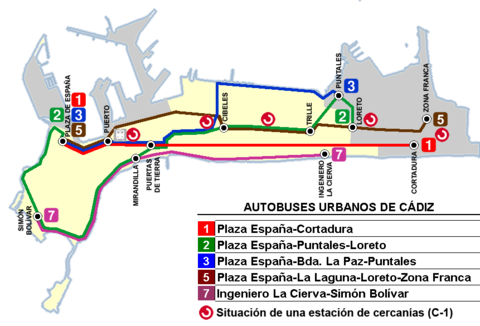
City bus lines of Cádiz 2009
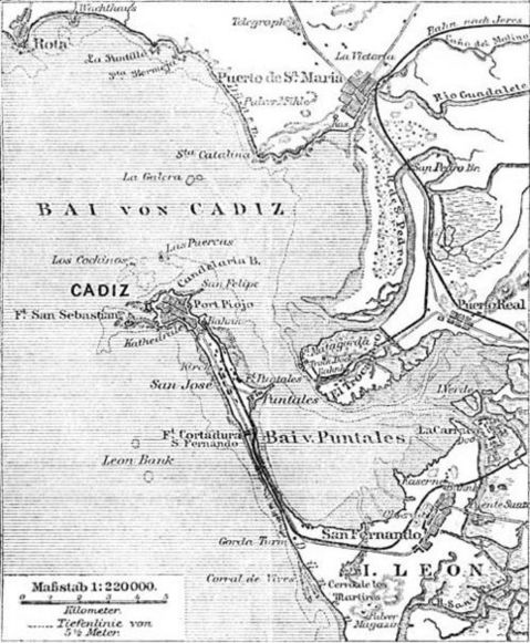
Map of the Bay of Cadiz in 1888
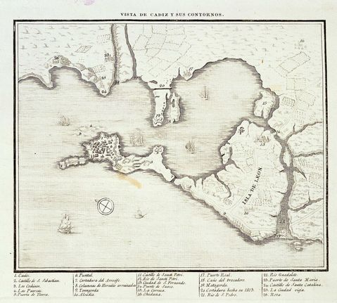
Historical map of Cadiz Bay, taken around 1813
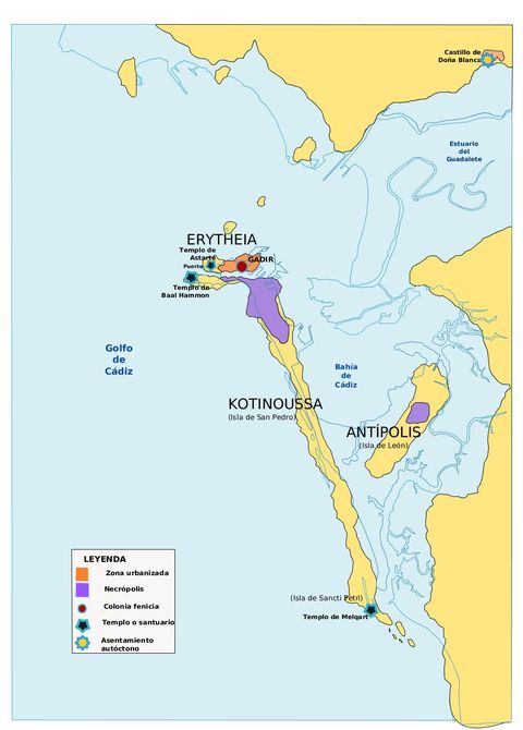
Gadeira Islands, 2000-3000 years ago. The blue line represents the outline of the current coast.
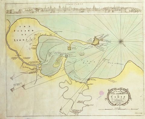
The city and harbour of Cadiz 1695