- Political Map 1976
- Satellite Photo 2003
- Small Scale Map 2005
- Small Scale Map 2005
- Virgin Islands Map 1920
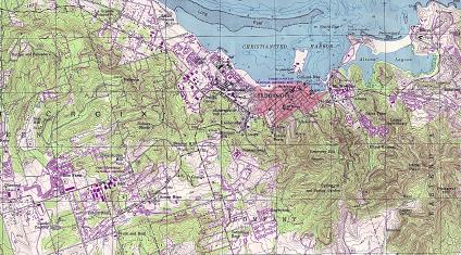
- Christiansted Map Topographic
- Charlotte Amalie Map Topographic
See full-size image (1,411KB).
From: U.S. Geological Survey original scale 1:24,000, 1982
