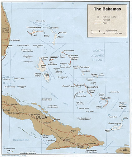
- Political Map 1986
- Shaded Relief 1986
- Small Scale Map 2005
- Freeport, Bahamas
- Andros Island and Tongue of the Ocean
- Grand Bahama Island, Freeport, Lucaya
- Bimini Island
- Crooked Island and Acklins Island
- Eleuthera Island
- Eleuthera and New Providence Islands
- Tongue of the Ocean
See full-size image (271KB).
