|
|
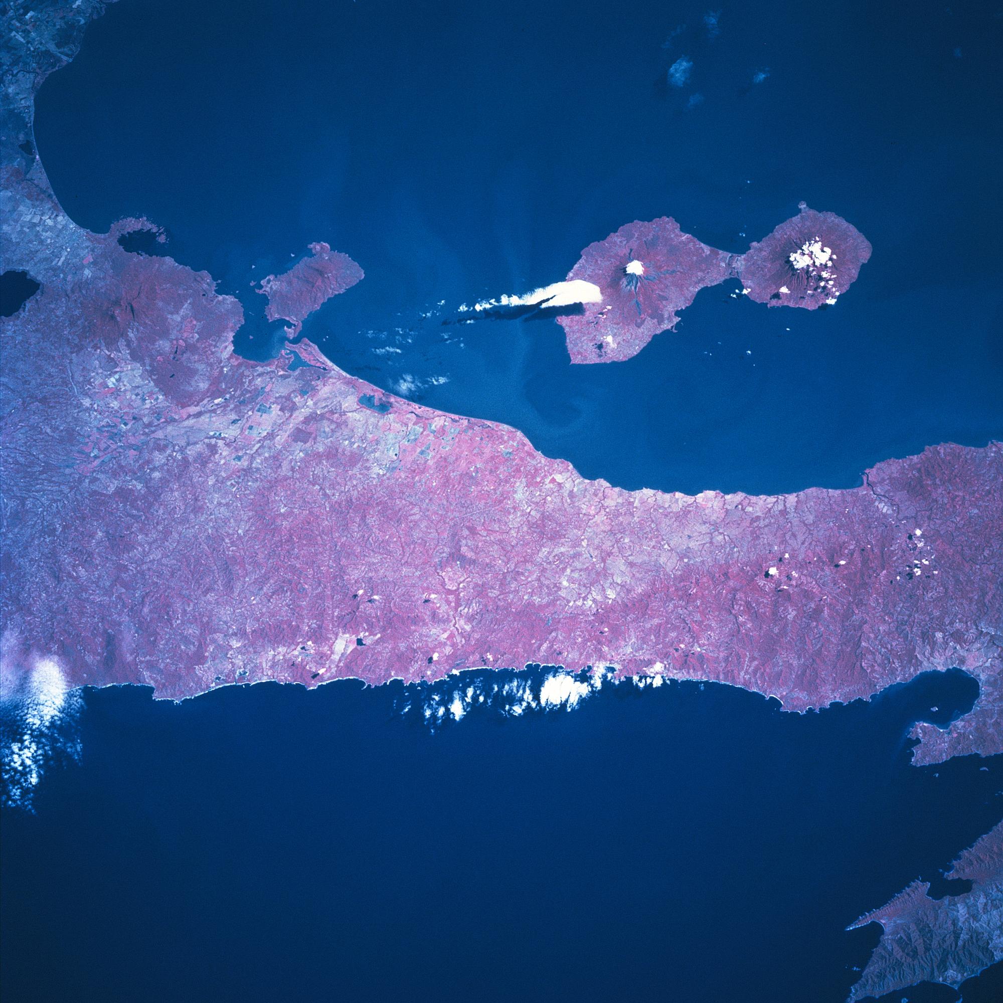
Satellite Image, Photo of Maderas & Conception Volcanos Ometepe Island, Nicaragua, January 1997 |
|

Ometepe Island, Nicaragua January 1997 Ometepe Island, formed by two volcanoes, is located along the west side of Lake Nicaragua. Conception Volcano, an active volcano, makes up the larger, northwest part of the island, while Maderas Volcano on the southeast side of the island is dormant. Their respective summit elevations are 5283 feet (1610 meters) and 4413 feet (1345 meters) above sea level. Several small towns are distributed around the island. The major economic activities include tourism, farming, and ranching, with tourism the major attraction. The color infrared image (records healthy green vegetation as various shades of red) helps to identify the distribution of the natural vegetation and also helps to delimit land-water boundaries. Most of the remaining tropical rainforest (darker reds) are found on the Maderas side of the island. The strip of land that separates Lake Nicaragua from the Pacific Ocean is about 12 miles (19 km) in width. The narrow corridor of land shows some agricultural activity (lighter colored areas) and a forested landscape (darker reds).
|
Ometepe Satellite Photos
Nicaragua Maps
|