See full-size image.
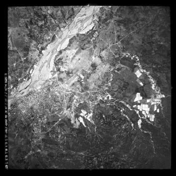
Black-and-white vertical photograph of the city of Choluteca and the Choluteca River in southern Honduras. Flooding deposited large quantities of sediment in the northern part of the city and destroyed a number of neighborhoods in the city. Sediment was also deposited along the banks and on the floodplain of the Choluteca River. Nearly all manmade structures on the floodplain north of the city were destroyed, including the bridge approaches to the new crossing of the Inter-American Highway, leaving the central span of the bridge as an isolated, free-standing structure. The "old bridge" across the Choluteca River, built by the Army Corps of Engineers in the 1930's, survived the flooding, but the northern approach was destroyed when the Choluteca River temporarily changed course during the flood.
