|
|
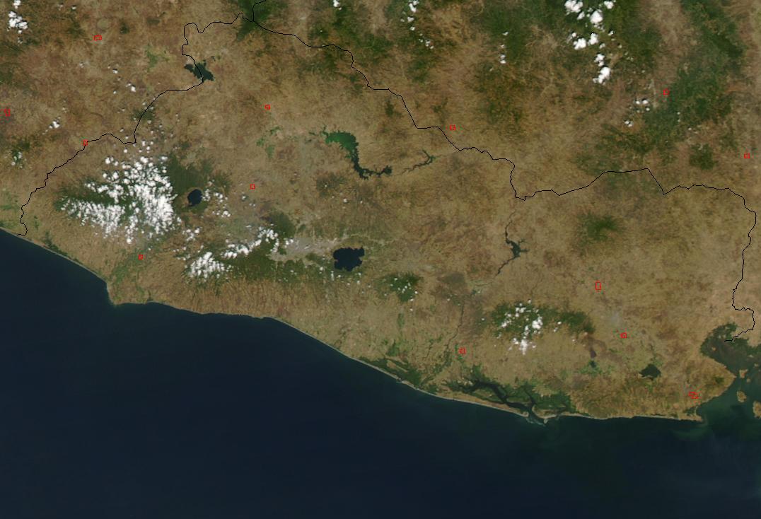
Satellite Image, Photo of El Salvador, Central America, March 1 2003 |
|

From: Jeff Schmaltz, MODIS Rapid Response Team, NASA/GSFC
On March 1, 2003, the Moderate Resolution Imaging Spectroradiometer (MODIS) on the Aqua satellite detected widespread fires (red dots) scattered across El Salvador.
|
|