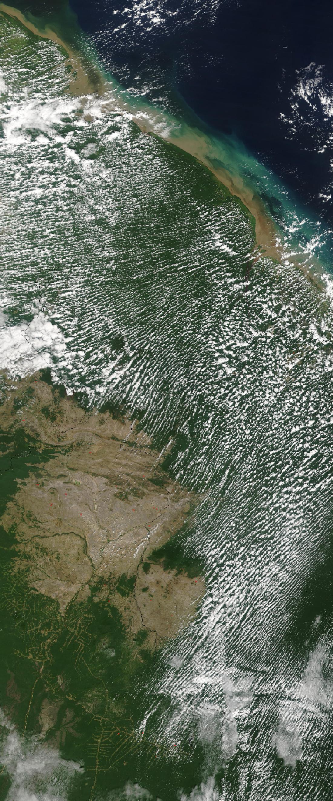
Satellite Image, Photo of Guyana, South America
Credit: Jeff Schmaltz, MODIS Rapid Response Team, NASA/GSFC
This true-color Moderate Resolution Imaging Spectroradiometer (MODIS) image shows a few scattered fires (red dots) in Guyana.
Guyana Maps
Shaded Relief
1991 JPG, PDF formats
Small Scale Map
2004
Economic Activity Map
Ethnic Groups Map
Population Map
Vegetation Map
Guyana Satellite Photos
Guyana (Country)
Georgetown, Essequibo River Mouth
Essequibo River
Maps
-
Mapas
-
Cartes
Most Popular Maps:
españa
,
mexico
,
portugal
,
brasil
,
colombia
,