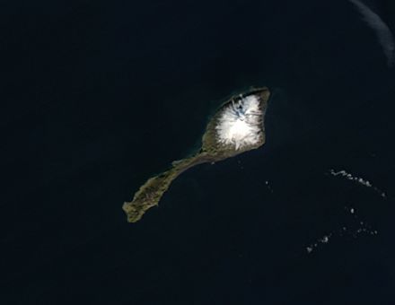
Jan Mayen Island, Greenland Sea
Tiny Jan Mayen Island sits about 650 kilometers northeast of Iceland between the Norwegian and Greenland Seas. Covering 373 square kilometers, the island is about twice the size of Washington, D.C. The white peak on the northeast section of the island is Beerenberg, the most northern active volcano. Beerenberg last erupted in 1985. The Moderate Resolution Imaging Spectroradiometer ( MODIS ) on NASAs Aqua satellite captured this image on August 30, 2004.

