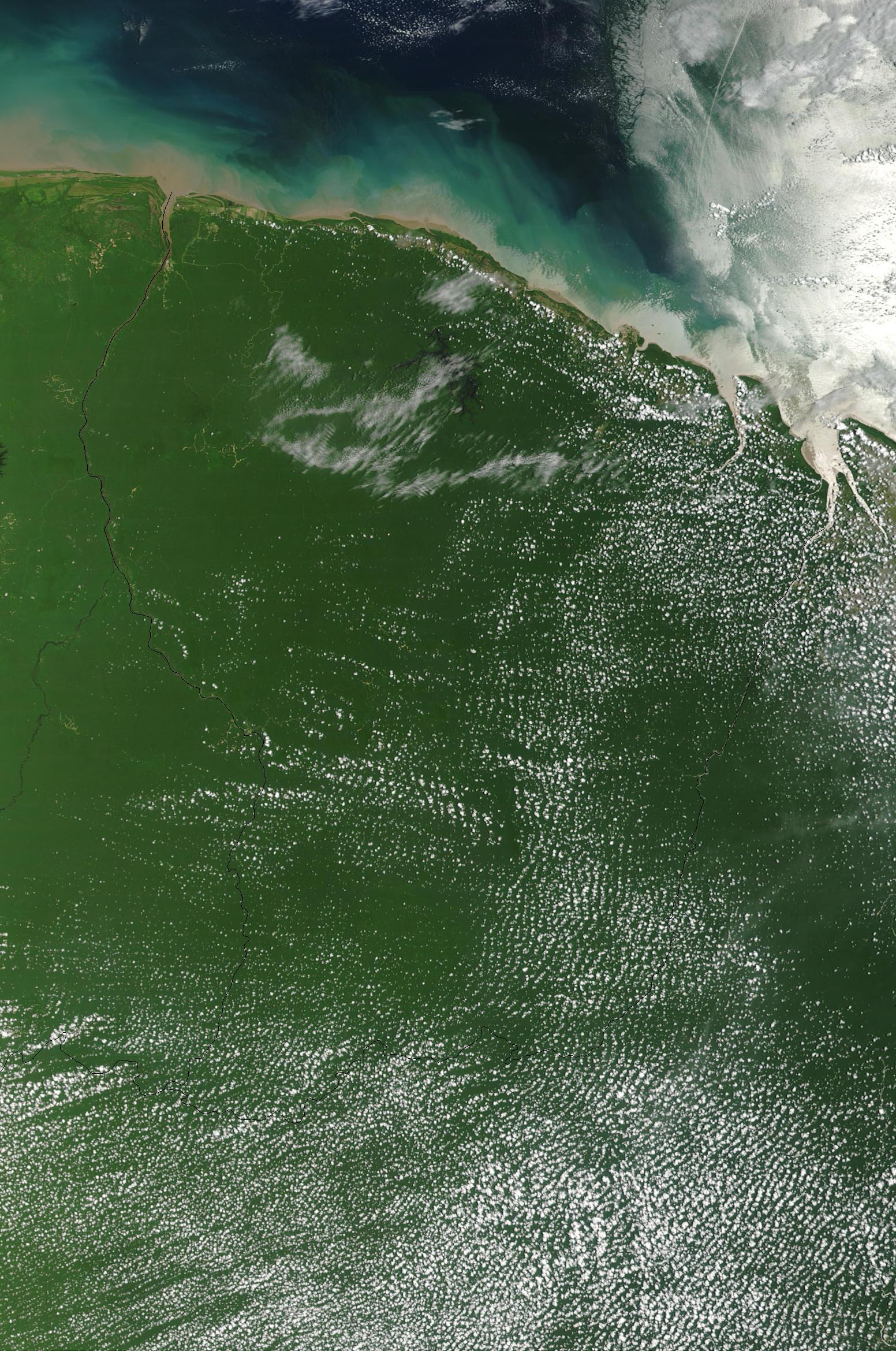
Satellite Image, Photo of French Guiana (France) September 19 2002
Credit: Jacques Descloitres, MODIS Rapid Response Team, NASA/GSFC
True-color Terra MODIS image was acquired September 19, 2002.
French Guiana Maps
Shaded Relief Map
JPG and PDF formats
Political Map
JPG and PDF formats
Small Scale Map
(8KB)
Economic Activity Map
Vegetation Map
French Guiana Satellite Photos
Coast, Vegetation, Rivers
Maps
-
Mapas
-
Cartes
Most Popular Maps:
españa
,
mexico
,
portugal
,
brasil
,
colombia
,