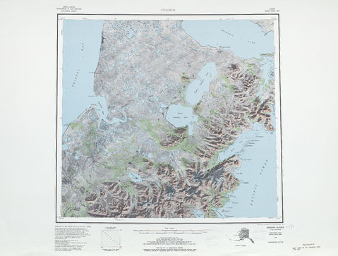
Physical map of the United States
Most of the United States is physically located in the middle of North America -where its forty-eight contiguous states and Washington DC, the federal district, are located-, between the Pacific and Atlantic oceans, borders Canada to the north and Mexico to the south. The state of Alaska is in the northwest of the continent, bordering Canada to the east, separated from Russia to the west by the Bering Strait. The state of Hawaii is a Polynesian archipelago in the middle of the Pacific Ocean, and is the only one of its states that is not found in America. The country has several unincorporated territories in the Caribbean Sea and the Pacific.


