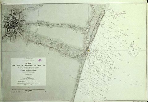
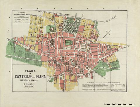
Grao de Castellón map 1878
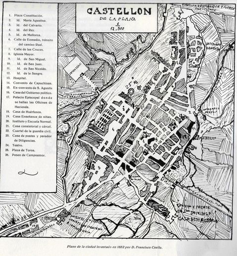
Map of Grao of Castellón de la Plana, elaborated in 1878 by the Hydrographic Commission commanded by Commander D. Rafael Pardo de Figueroa, E. Perez engraved it; S.T. Bregante gº point. Oriented with a rose and an arrow indicating magnetic deviation. Notes: - Graduates. - Probes. - Relief by shading. - Location of the lighthouse by color. The map of the city of Castellon and its surroundings is taken from the map published in 1852 by Lieutenant Colonel engineers Captain D. Francisco Coello


