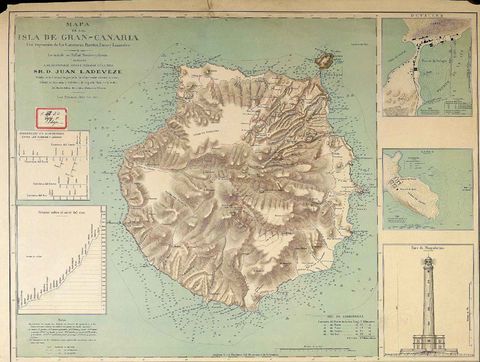
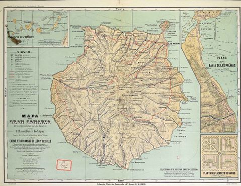
Gran Canaria Island map 1895
Map of the island of Gran Canaria, with expression of Highways, Ports, Lighthouses and Lazarettos / Raised by Rafael Navarro and Garcia and dedicated to. .. D. Juan Ladeveza ... ; Imp by Erhard Fres. Paris. Scale 1:171.500. Includes: Distances in kilometers between the towns and places. - Height above sea level. - Puerto de la Luz. - 1:20.000. - 13 x 11.5 cm. - Gando. - 1:20.000. - 10.5 x 11.5 cm. - Lighthouse of Maspalomas. - 1:5.000. - 14.5 x 11.5 cm.


