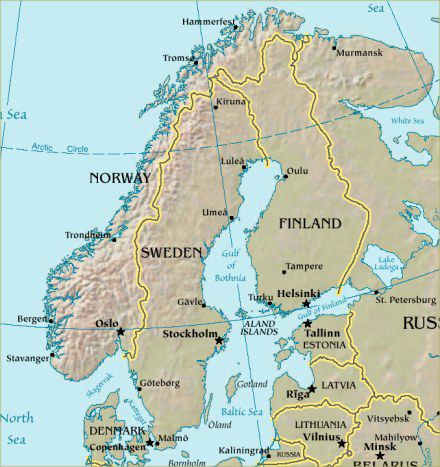
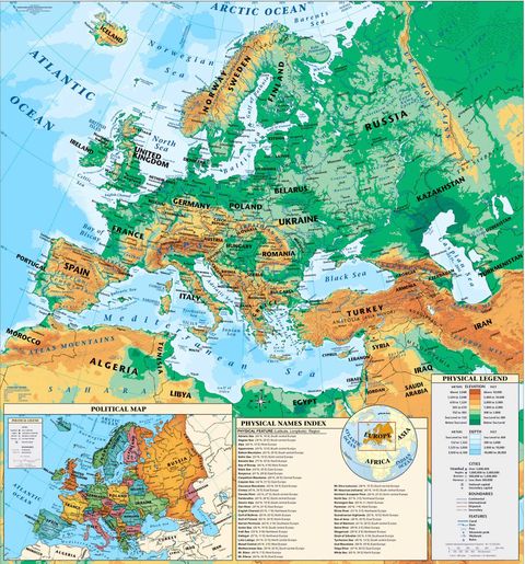
Scandinavia physical map
Scandinavia physical map.
Scandinavia is a region in northern Europe that includes Denmark and the Scandinavian Peninsula's two nations, Norway and Sweden. Finland is sometimes considered a Scandinavian country in common English usage, and Iceland and the Faroe Islands are sometimes also included, although this usage is considered incorrect in Scandinavia. The term Nordic countries refers to Denmark, Norway and Sweden as well as Finland and Iceland, and associated territories.
Scandinavia is a region in northern Europe that includes Denmark and the Scandinavian Peninsula's two nations, Norway and Sweden. Finland is sometimes considered a Scandinavian country in common English usage, and Iceland and the Faroe Islands are sometimes also included, although this usage is considered incorrect in Scandinavia. The term Nordic countries refers to Denmark, Norway and Sweden as well as Finland and Iceland, and associated territories.


