La Caridad open pit mine
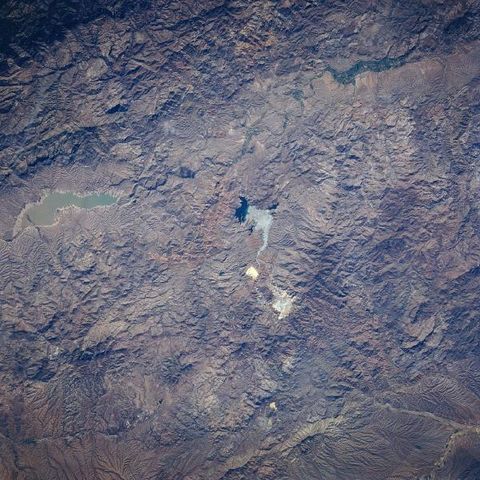
Open Pit (Copper) Mine, Sonora, Mexico June 1996. The rugged, mountainous terrain of the Sierra Madre Occidental is evident in this near-nadir image of a section of northeastern Sonora State. The only three identifiable features are a reservoir, a river valley, and a large open pit-mining site. The Angostura Reservoir (opaque, elongated feature near the northern side of the image) is located in the river valley (north-south orientation) that is a tributary of the Yaqui River system. The highly reflective areas in the center of the picture is the "La Cardidad" open pit mine, that is located east of the small town of Nacozari (not identifiable on this small scale image). This mining site is one of the largest copper and molybdenum operations in the northwest Mexico.


