See full-size image (193KB).
From: NASA
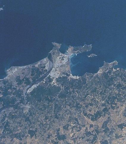
The metropolitan region of Concepción and its port cities of Talcahuano and Tomé are visible occupying most of a large irregular headland. Concepción is located on the banks of the Bio-Bio River, 6 miles (10 km) from the river’s mouth. The city is an industrial and commercial center. The ports of Talcahuano and Tomé ship the products of the surrounding rich agricultural and mining region. Coal is mined in the nearby hills. Since Concepción was founded in 1550, it has been severely damaged or destroyed by earthquakes ten times, the last in 1960.
