- World ::
- North America ::
- Quebec
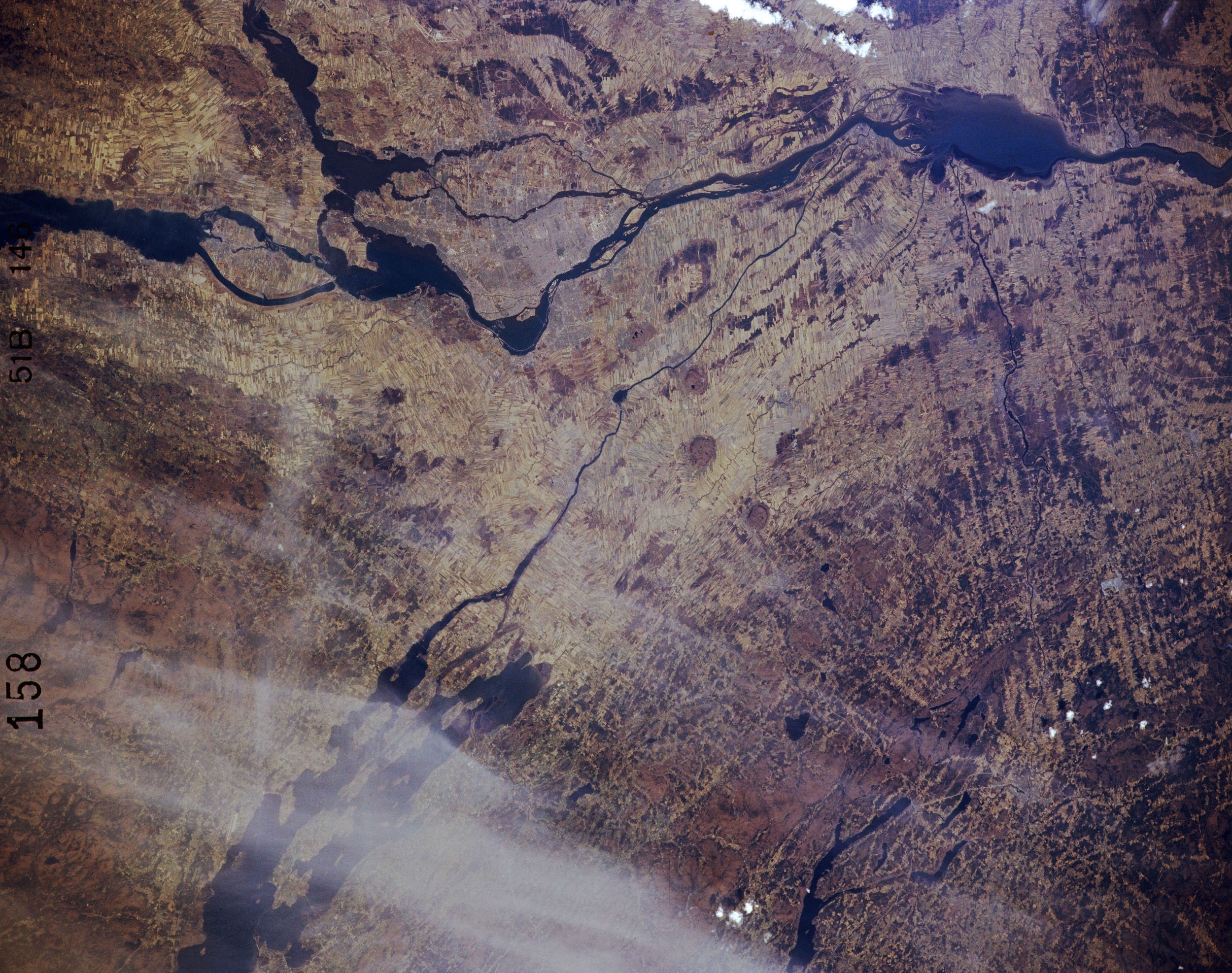
Satellite Image, Photo of St. Lawrence River, Quebec

From: NASA
A complex network of several waterways and rivers converge on the St. Lawrence River in the vicinity of Montreal (just below the center of the image). Except for a few bridges, the urban infrastructure of Montreal is not obvious on this small scale image. The Ottawa River enters the St. Lawrence River west of Montreal (lower edge, right of center). The St. Lawrence River extends across the entire picture from Lake St. Francis (lower right edge of image) to northeast of St. Peter Lake (dark, oval shaped feature, lower left). The large water body partially obscured by wispy clouds at the top edge of the image is Lake Champlain.