- World ::
- North America ::
- Quebec
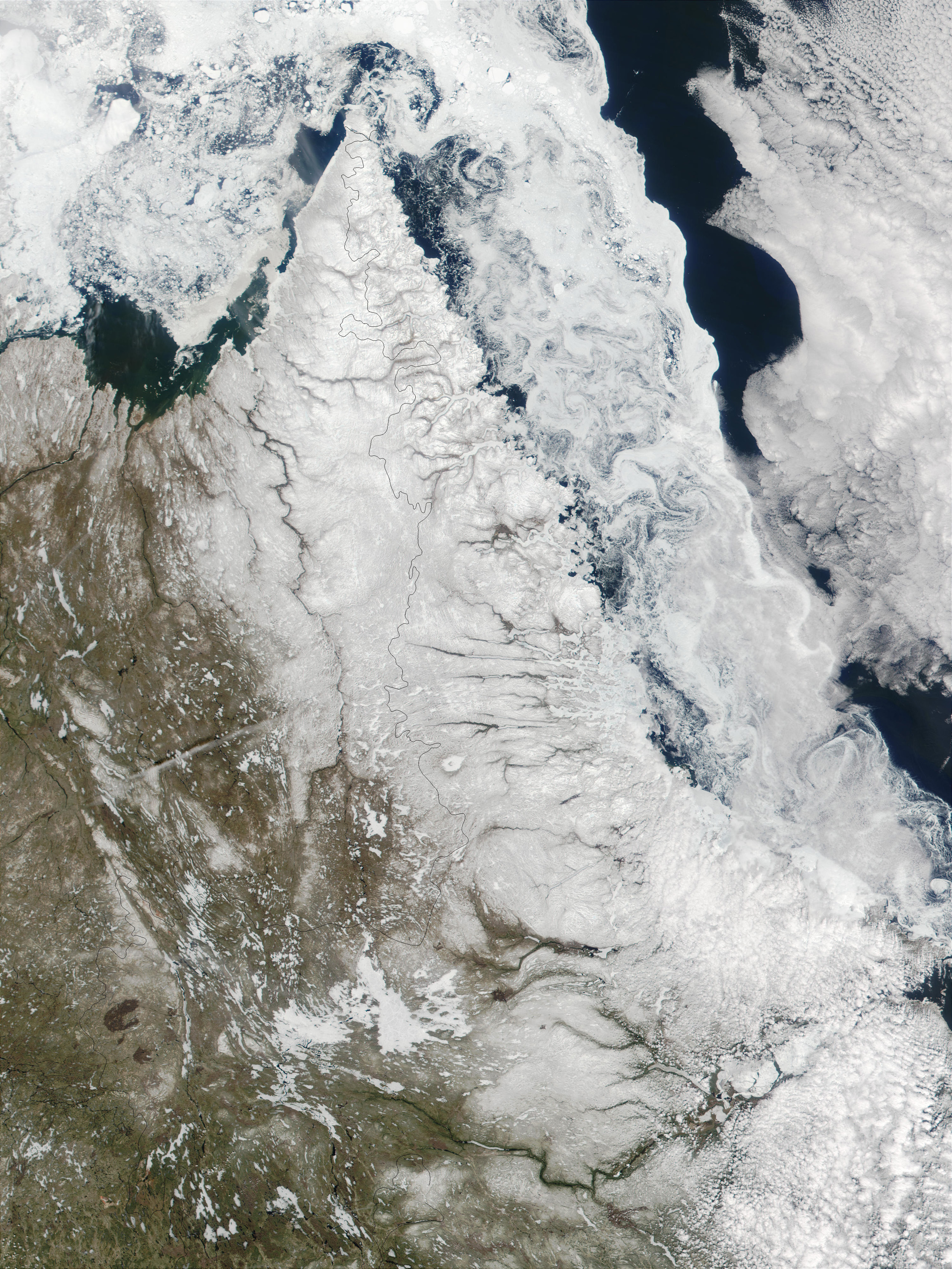
Satellite Image, Photo of Northeast Quebec and Labrador

Credit: Jacques Descloitres, MODIS Land Rapid Response Team, NASA/GSFC
Northeast Quebec and Labrador. This true-color MODIS image shows the Northeast Quebec and the Ungava Bay (left) as well as part of Newfoundland and the Labrador Sea (right.)